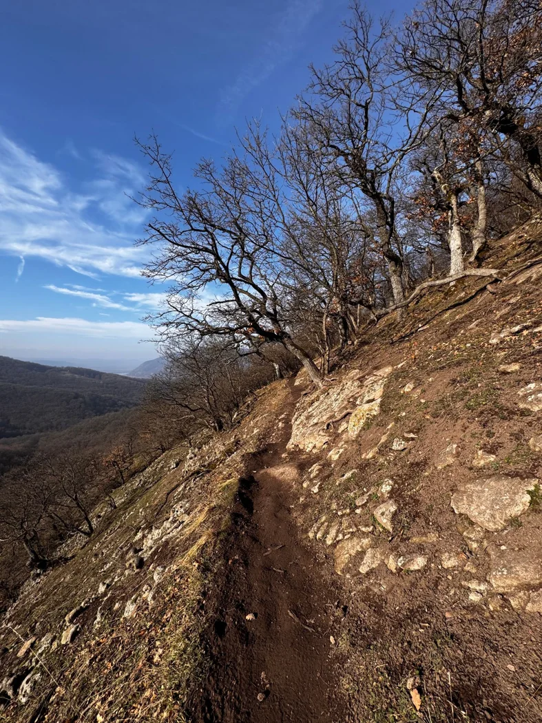
Choosing a day hike by distance and ascent
Two walks of equal length can make very different days. Look at the distribution of climbs, the surface underfoot, and the places where a shorter version remains possible.
SUBJECT / 05
Paths, weather and decisions before setting out.
27 articlesTwo walks of equal length can make very different days. Look at the distribution of climbs, the surface underfoot, and the places where a shorter version remains possible.
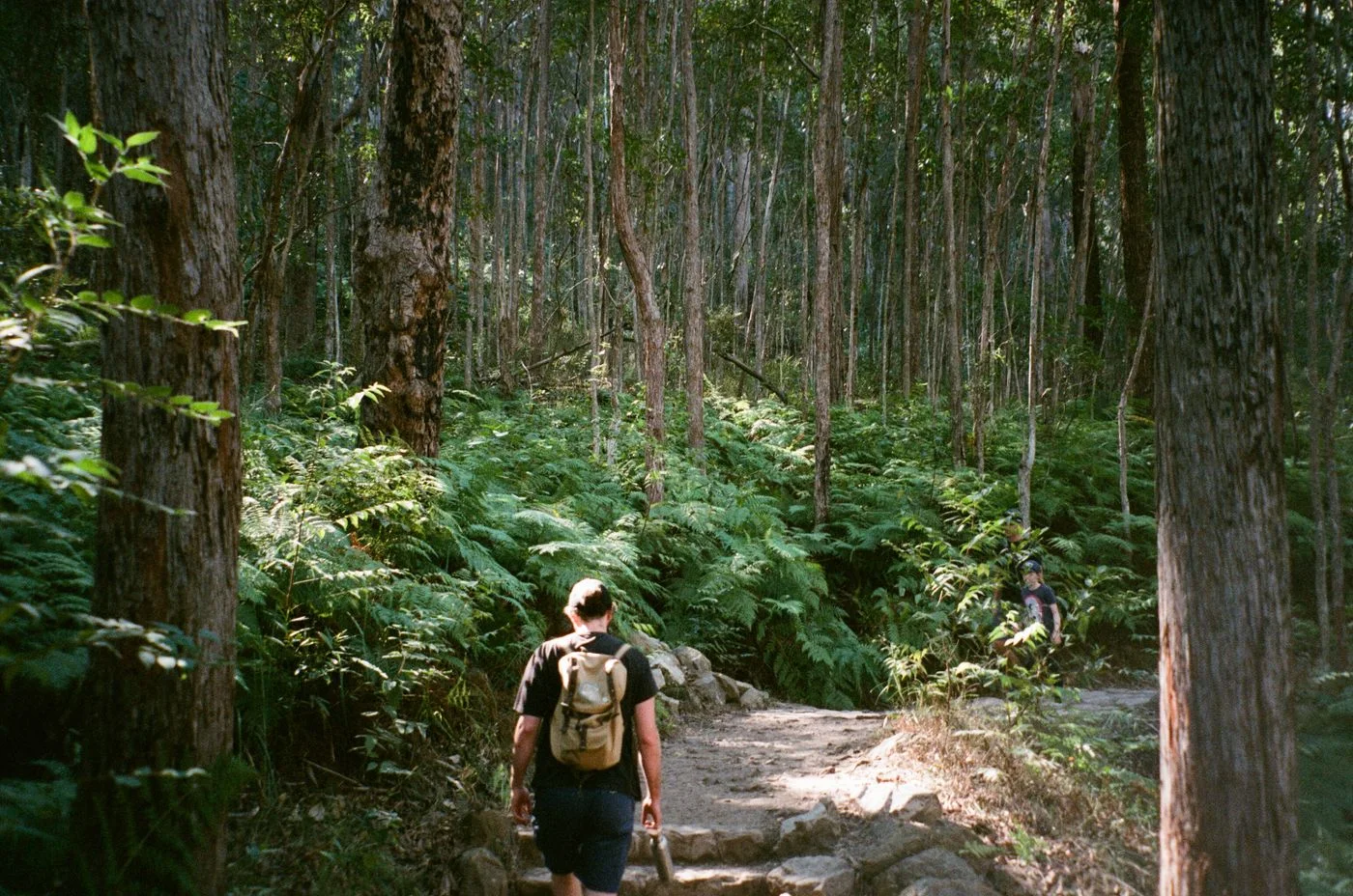
A loop offers changing scenery, while returning the same way often makes shortening a walk simpler. Choose according to your time window and how firmly the destination is fixed.
A route's time estimate covers only part of the day. Separating walking, stops, and travel creates a plan that can be checked while you are actually outside.

An early start is not the only answer for every short walk. A useful time connects daylight, travel, weather, and the part of the day you want to spend outside.
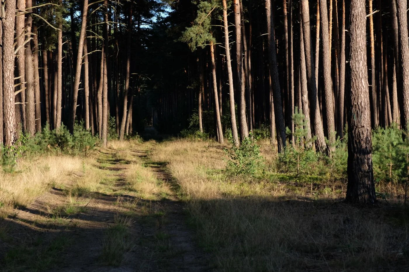
The end of daylight should not coincide with the end of the trail. Include the walk to transport and room for sections that take longer than expected.
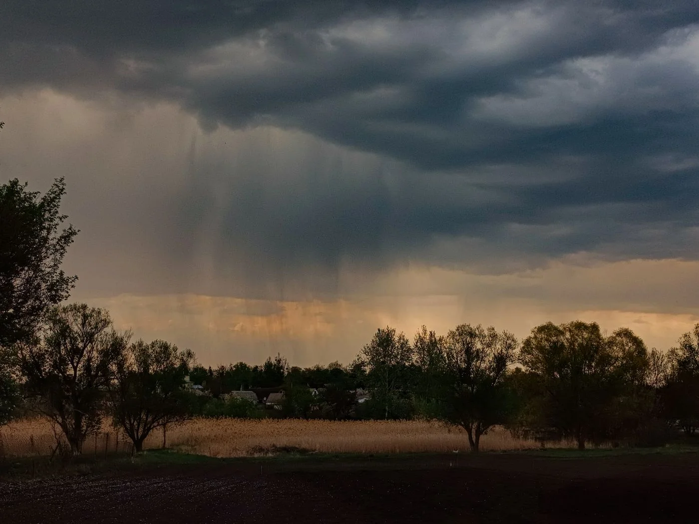
A weather symbol cannot describe a whole outing. Connect the forecast with timing, terrain, and the points where you can shorten the walk or move it to another day.
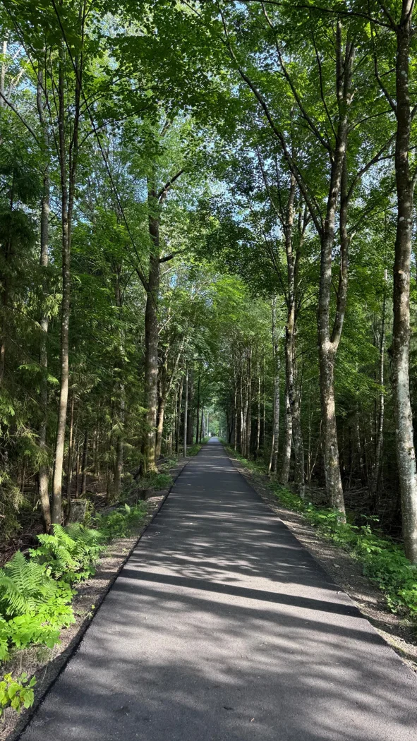
Woodland on a map does not automatically mean shade on the trail. Check open links, timing, and return options before selecting a longer loop for a warm day.
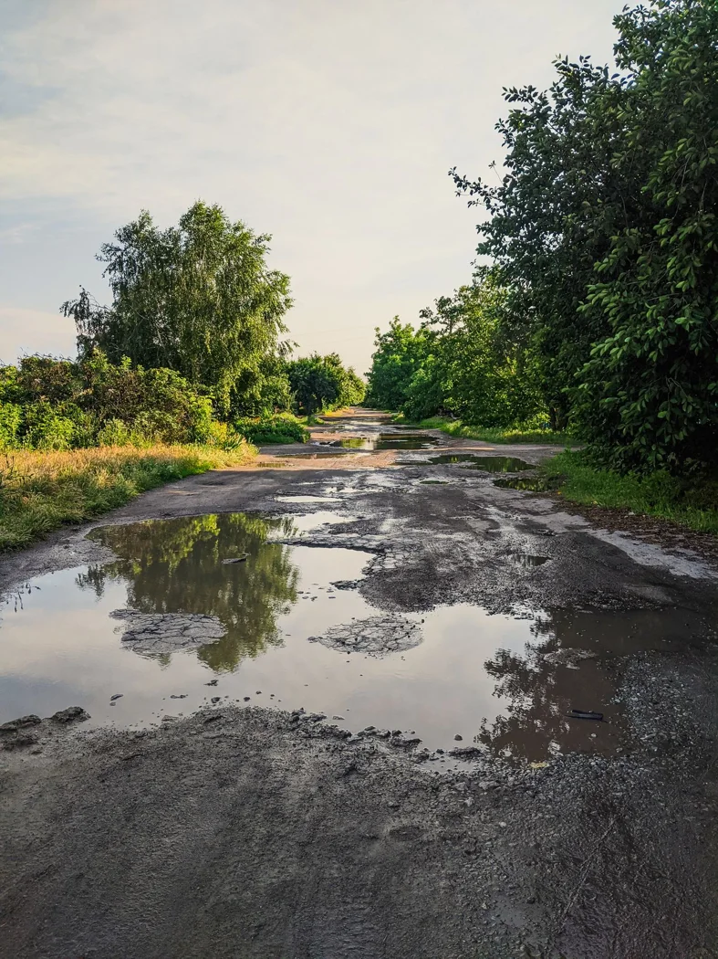
A dry morning says little about an unsurfaced path after several wet days. Distinguish an inconvenient muddy section from a route that is better replaced for this outing.
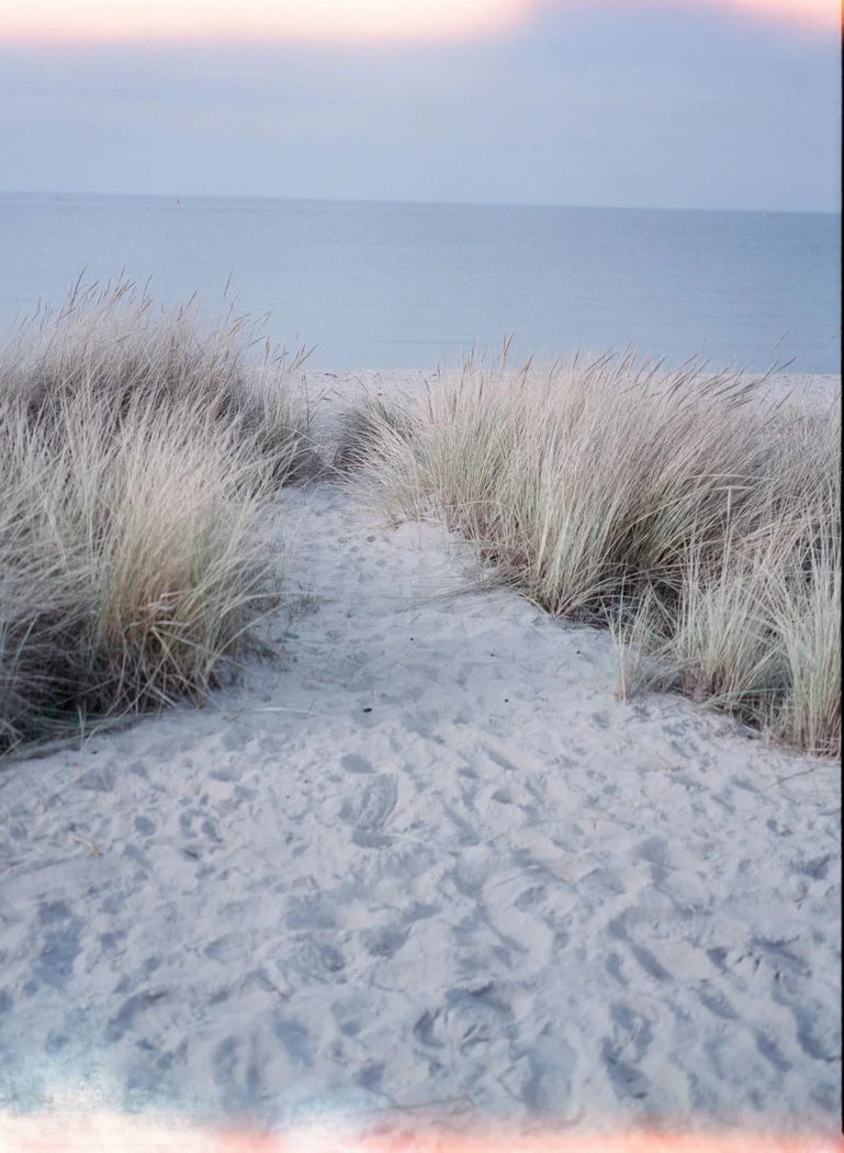
Wind can change the choice of route and sometimes the whole outing. Examine exposed sections and current notices rather than treating a sheltered-looking map as evidence of suitable conditions.
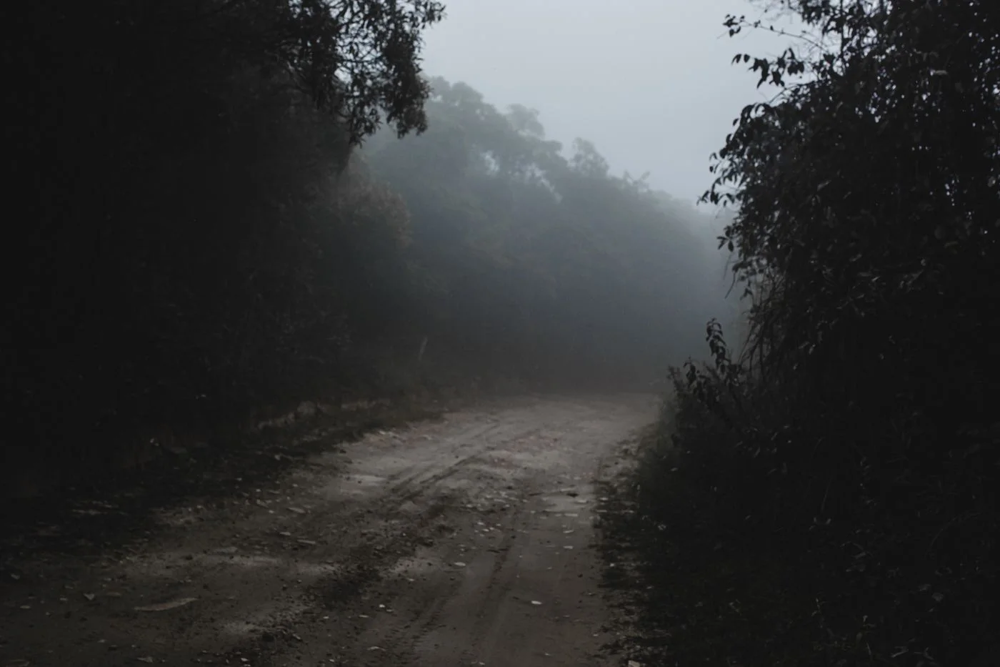
When the view disappears, the same route does not have to remain. A simpler walk or another date may fit better than a circuit without its useful landmarks.

A saved outing and a usable offline map are not always the same thing. Test what remains available without a connection, and understand the route before setting out.
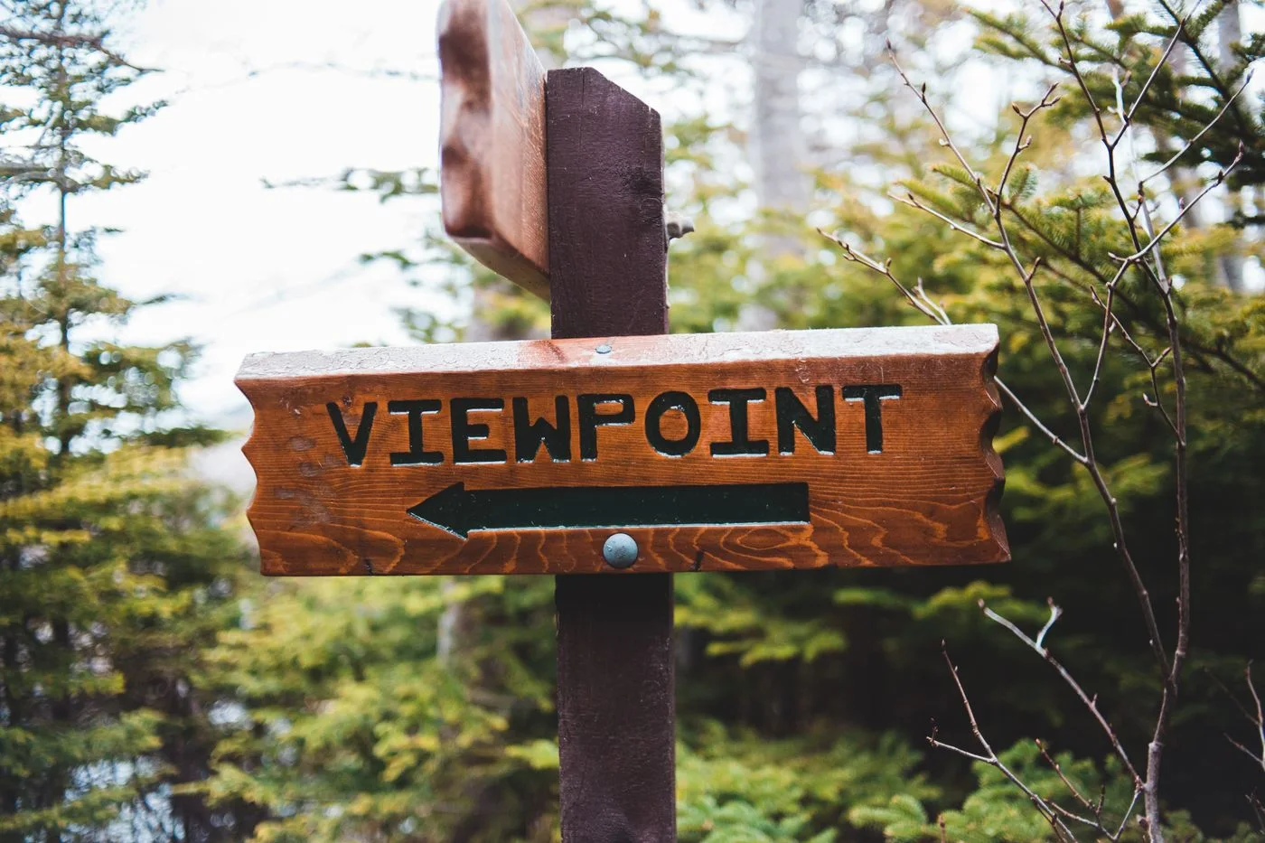
A marker helps only when you know which route it identifies. Connect symbols with destinations, the map, and the actual direction of the path at a junction.
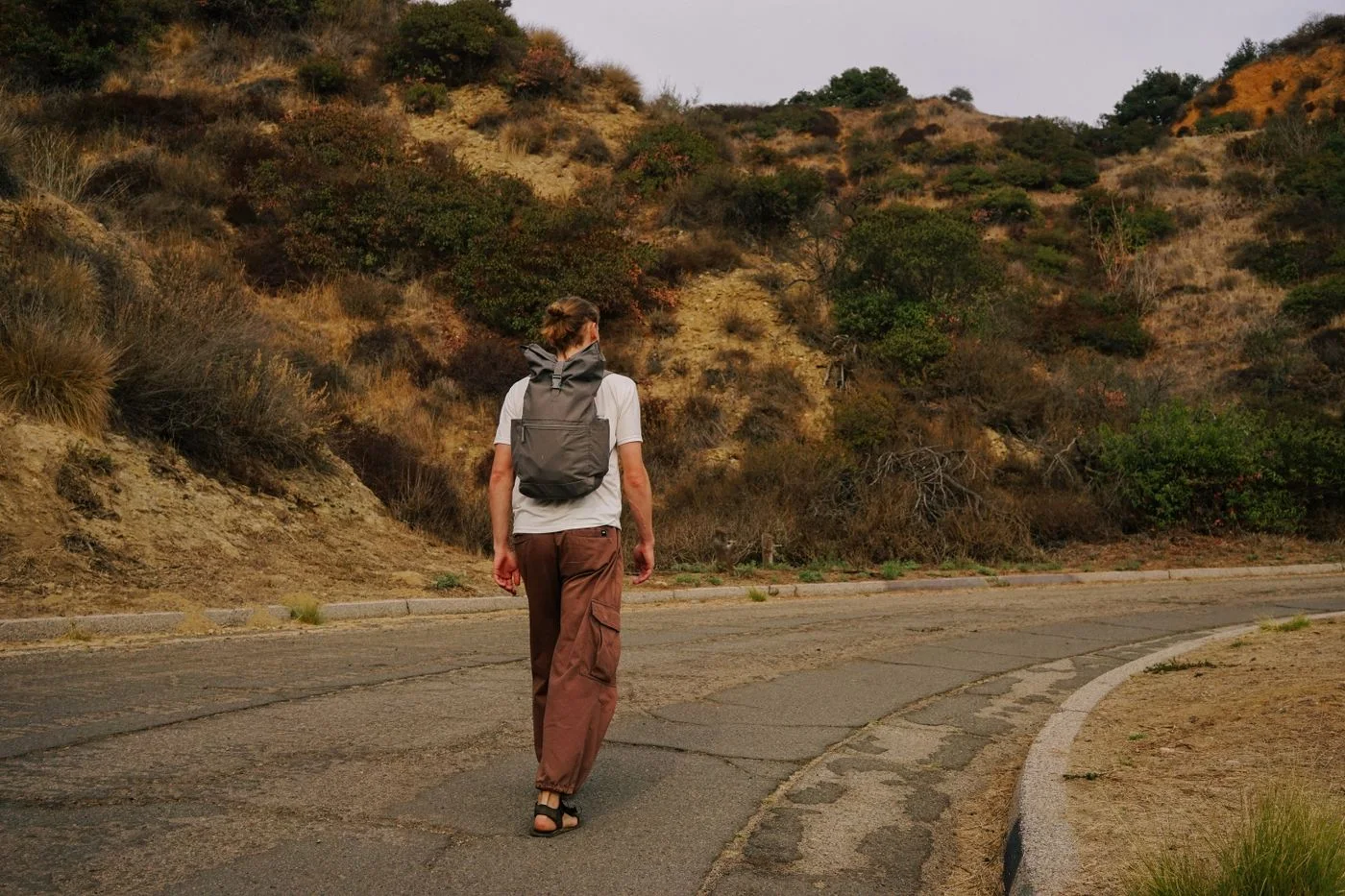
An elevation profile shows how climbs and descents are distributed. Read it beside the map: its line does not describe every surface feature or establish the walk's actual difficulty.
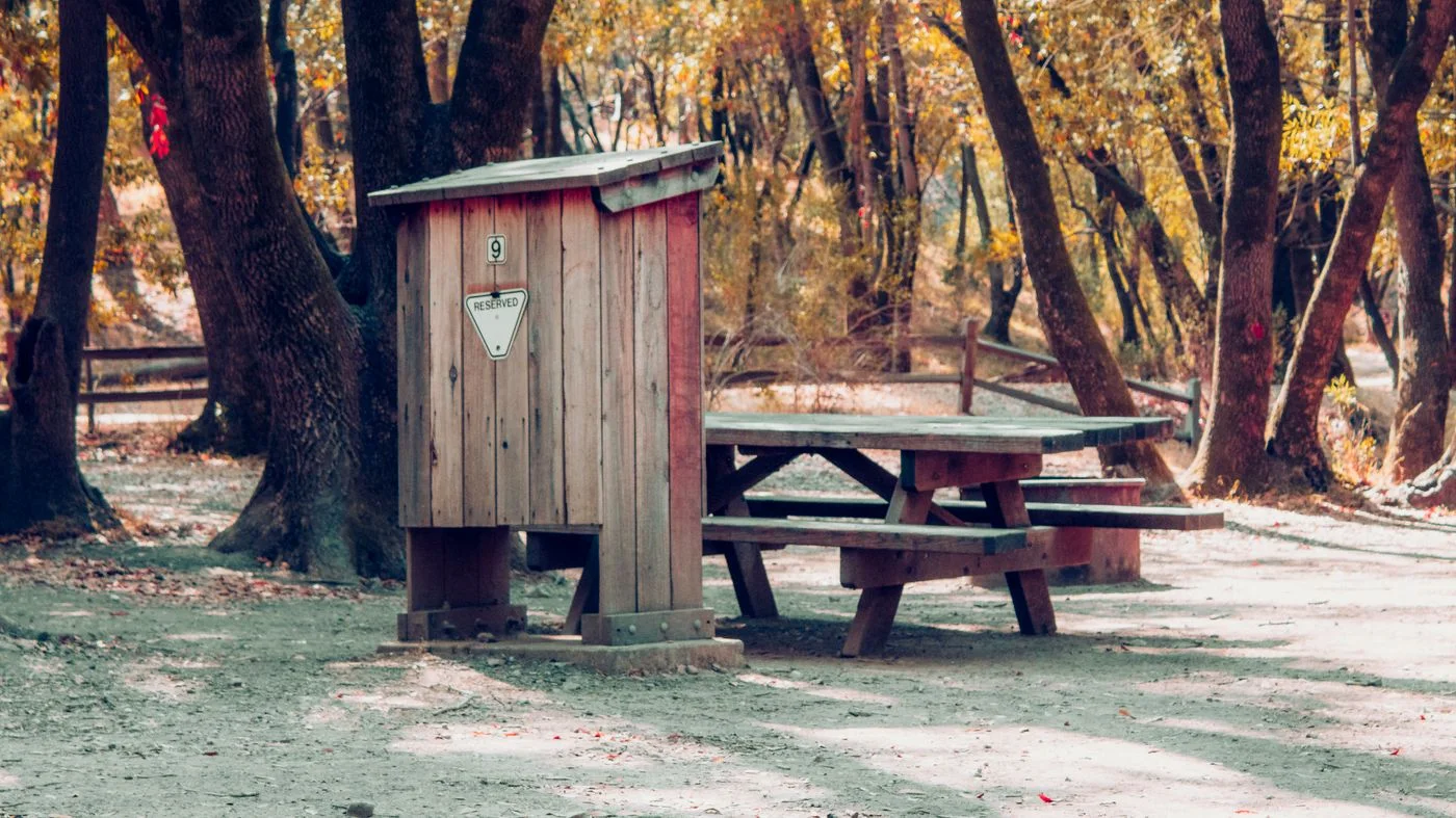
A useful pause needs more than a point on a map. Choose places that fit the route and keep an alternative in case the preferred spot is occupied or unavailable.
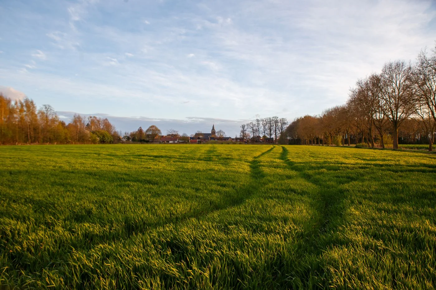
A shortcut helps only when its route and connections are already understood. Prepare shorter options before starting, and choose them while their useful junctions still lie ahead.
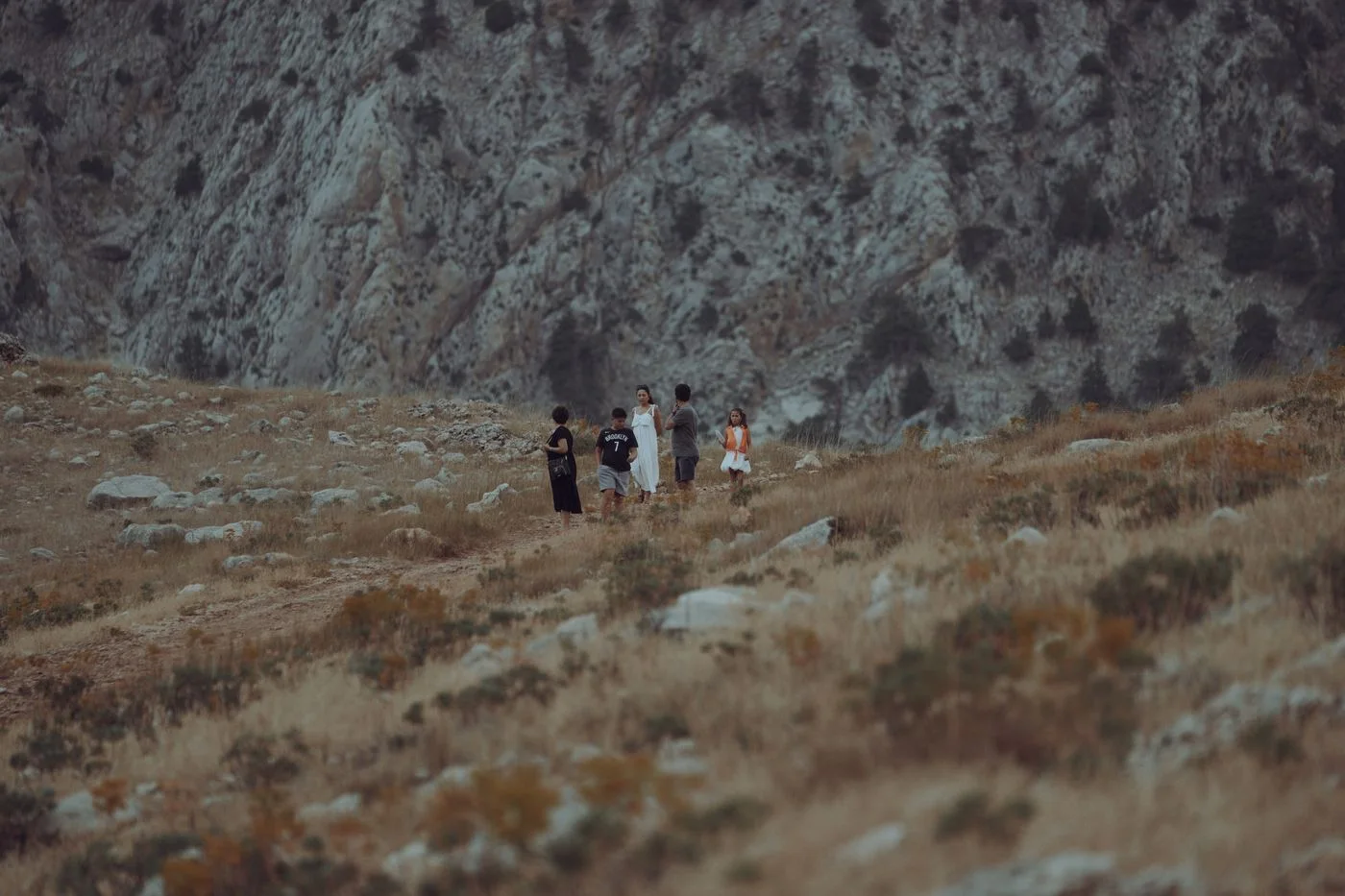
A group need not consist of equally fast walkers. Clear agreements, suitable sections, and a genuine shorter option help shape the shared day before anyone arrives at the start.
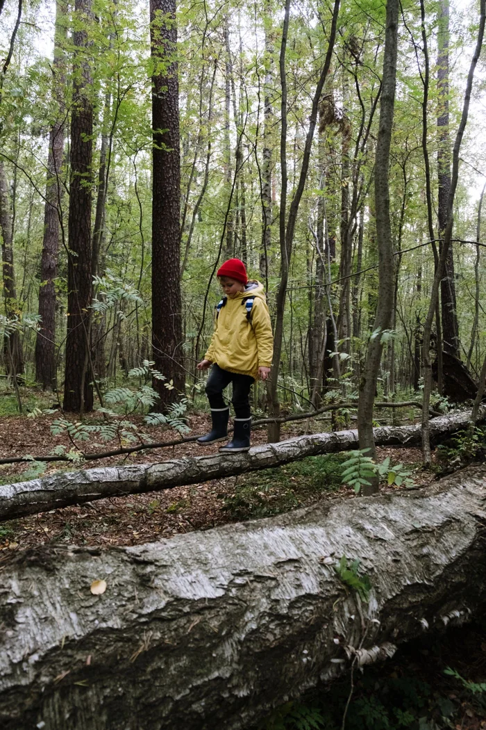
Interesting sections and flexible expectations often matter more than a distant destination. Choose paths where a shorter version remains possible without creating a complicated journey back.
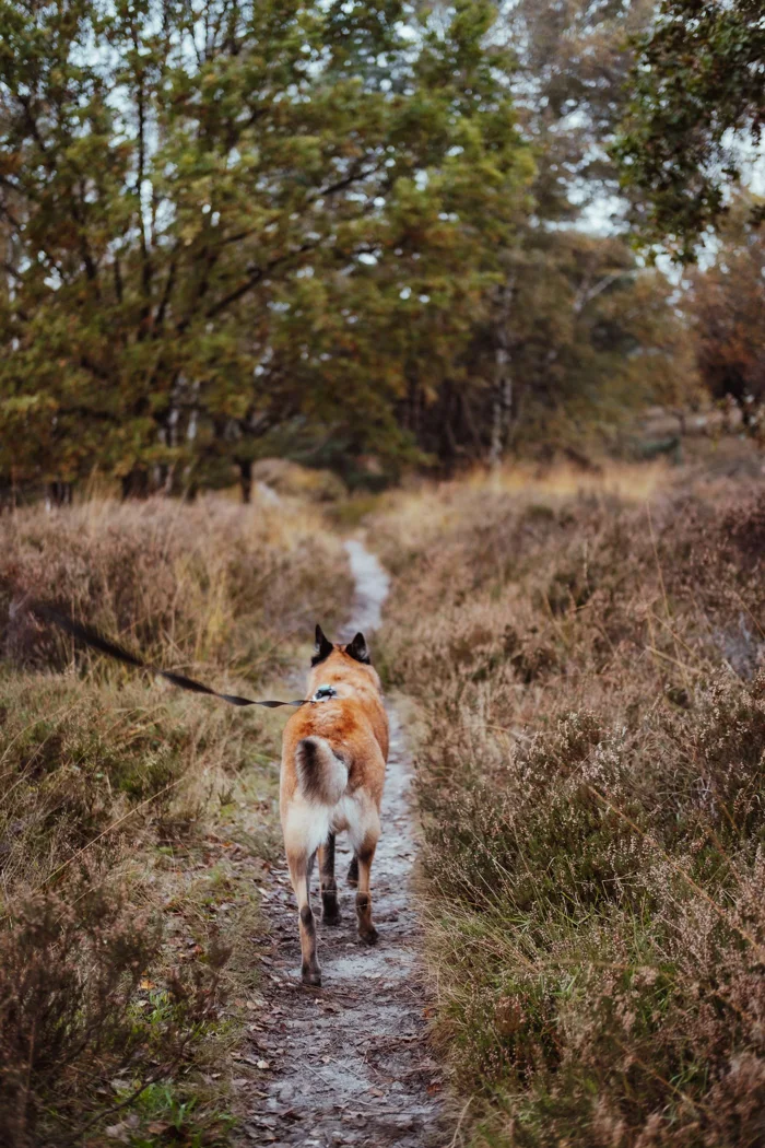
An appealing day walk does not automatically suit an outing with a dog. Check access, physical features, and planned stops before reaching a gate or café that changes the day.
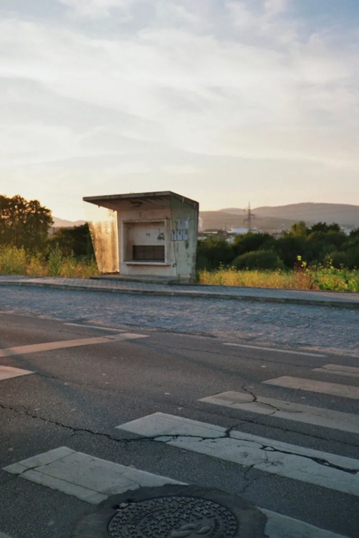
For a point-to-point walk, the journey home belongs to the route. Check the real paths to stops, useful connections, and a shorter version before fixing the start and finish.

The season alone does not describe a path today. Connect typical changes with current notices and choose a walk whose actual condition fits the outing you intend.
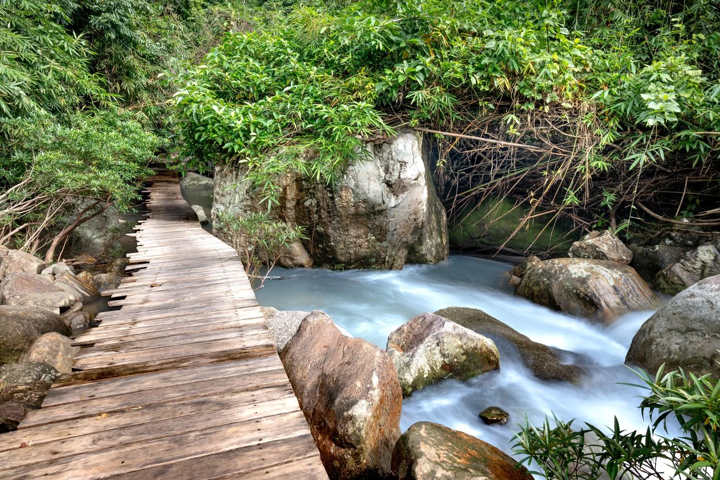
One crossing can determine whether a loop works at all. Check its type, access, and current notices before making it an essential connection in the walk.
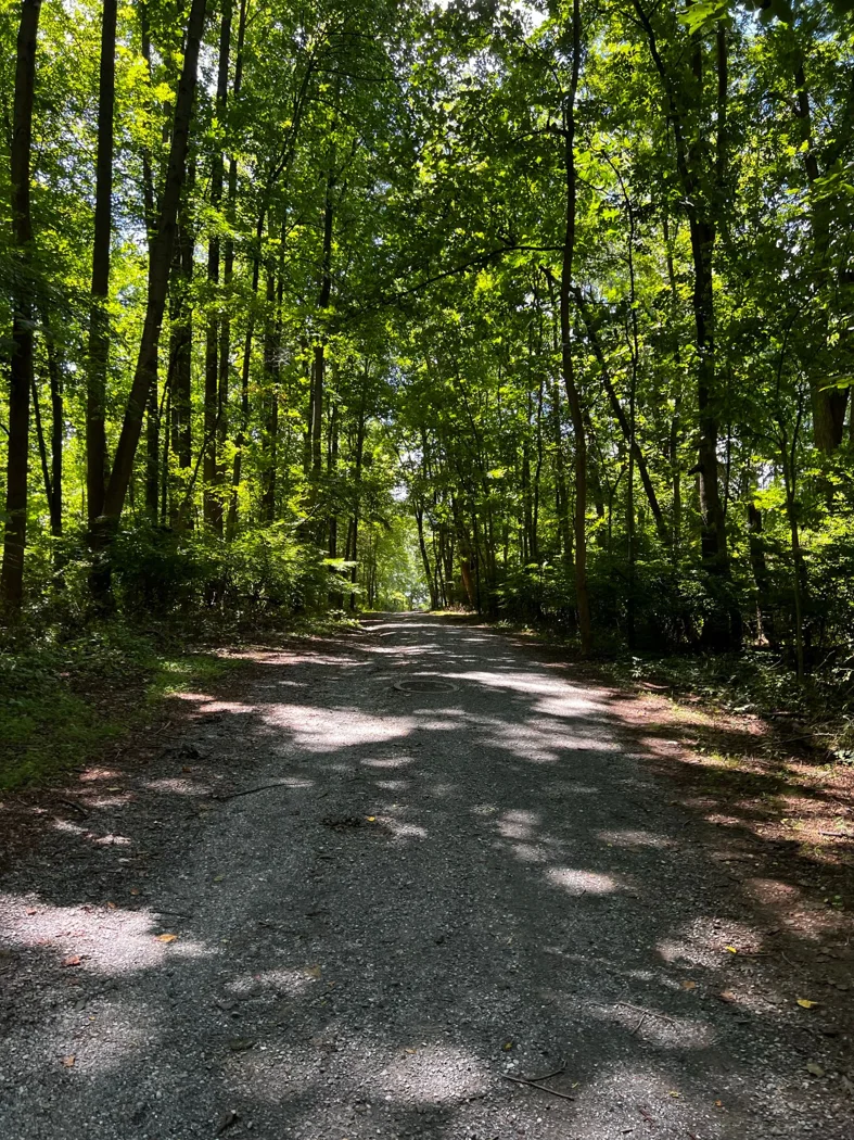
Path width changes conversation, pace, and encounters. Choose the surface for the outing you want rather than assuming narrow trails automatically make a better walk.
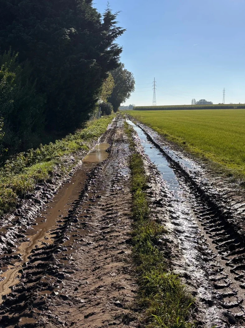
Field paths combine open views with land where work takes place. Check the intended route and avoid treating the ground beside it as a freely available extension of the walk.
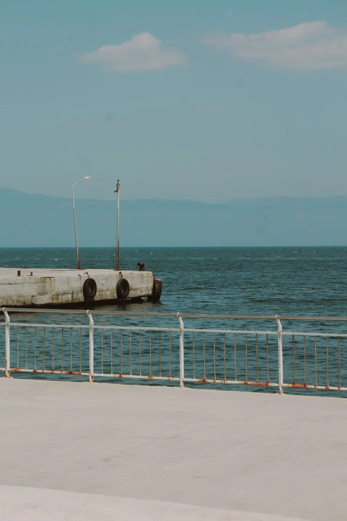
For an ordinary coastal outing, continuous land paths and understandable exits matter more than the longest possible waterside line. Check the full route and current local information.
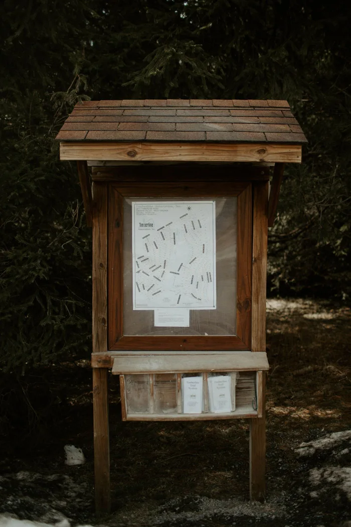
An information board can change a walk in concrete ways. Look for visitor routes, temporary restrictions, and the access points that connect with the circuit you planned.
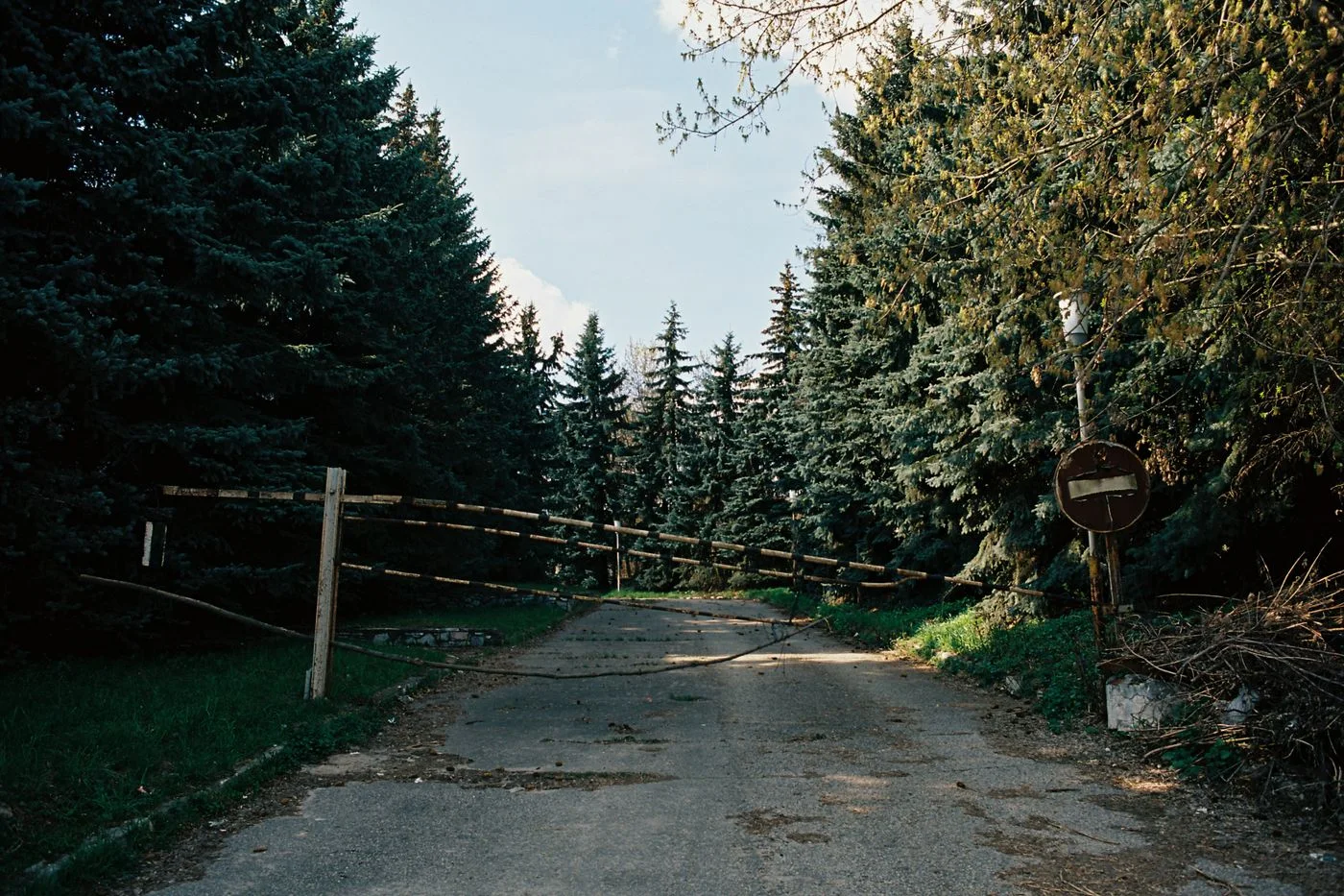
A closure supplies new information for the plan. Check a signed diversion or a known return instead of trying to preserve the original route through an unverified detour.

A few specific observations can improve the next plan. Record what actually changed the day rather than feeling obliged to finish every walk with a long review.