Begin with the present route
A designated route on a former railway may have an understandable shape, passing through cuttings, along raised sections, or beneath older bridges. First establish that it is currently intended as an accessible recreational path. Disused-looking tracks are different and are not part of this suggestion.
Find a current description of the converted section. Check what is open, the stated surface, and whether use is shared. The former railway does not establish today's condition. Even assumptions about gentle gradients should be checked against the actual route rather than derived solely from its railway label.
Access can determine the walk
A path on an embankment or in a cutting may lie close to a street without connecting directly. Find the intended entrances and exits. Steps, ramps, and longer approaches can affect the day more than the straight main section.
For a first visit, use a known entrance and recognisable turnaround. A bridge or signed place can serve if there is suitable room to pause. The return stays understandable without leaving the route to find an uncertain connection.
For a loop, check the parallel return in full. Two nearby map lines do not establish that moving between them is possible. A fence, slope, or site without public access may intervene. An out-and-back works better while the other connection remains uncertain.
Break up a long straight section deliberately
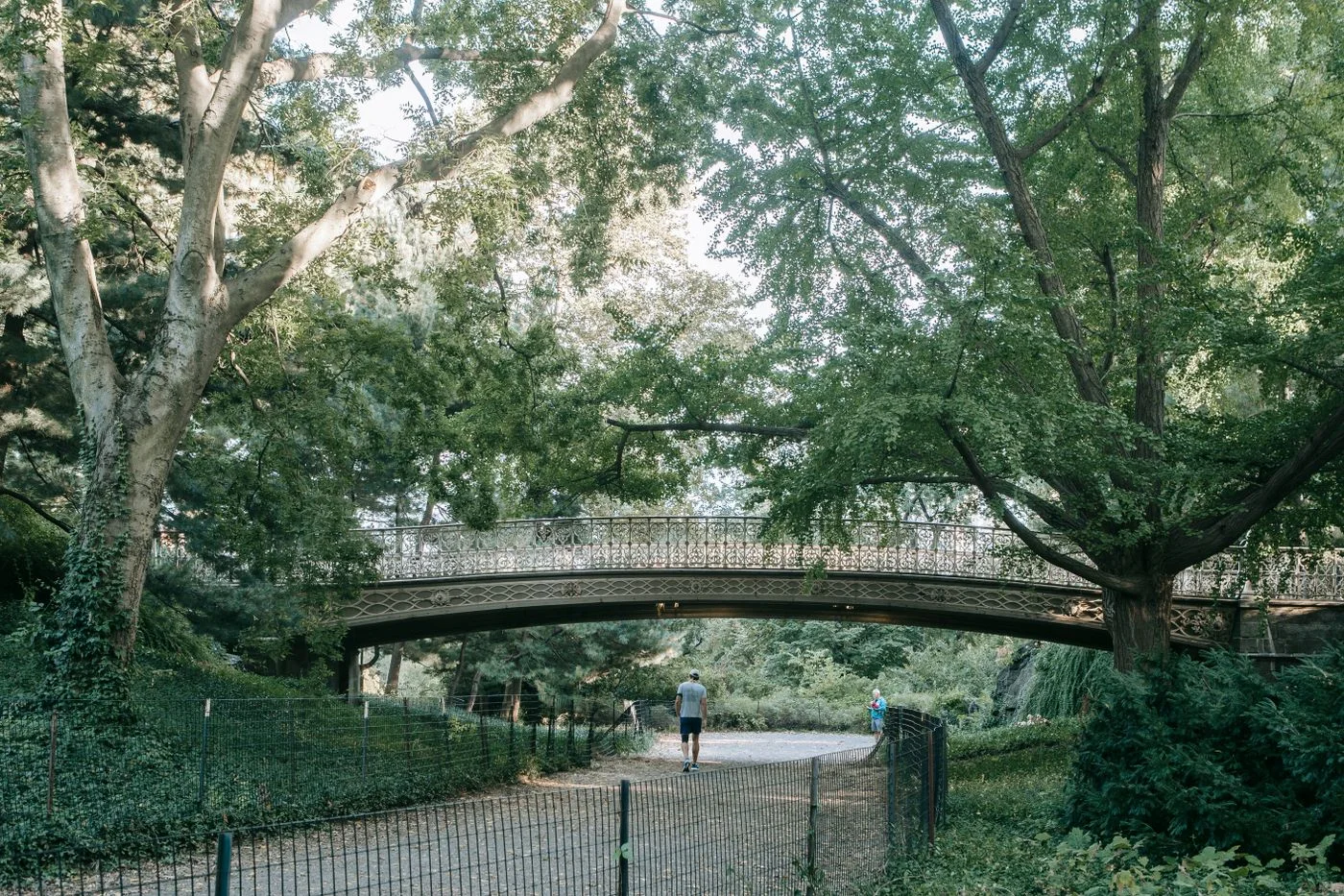
Straight sections can be pleasant because little directional attention is required. They may also feel longer than their distance suggests. Choose small observation points: a change in trees, a bridge arch, or the transition into a settlement. Extra destinations off the route are unnecessary.
Pause where there is enough room and keep the shared path clear. Walking together requires attention to width and other people. A recreation route is not necessarily reserved for pedestrians. Local signs explain its uses better than a general expectation about all former railway paths.
For photographs, a suitable position beside the through-route works better than the middle of a narrow bridge opening. The subject remains available while passage stays clear. Groups can gather at a wider place instead of spreading across a pinch point.
Investigate the history with focused questions
For the earlier railway, seek information from the municipality, path manager, or local museum. A visible wall does not explain its date, and a platform-like shape does not prove former use. A concrete question is easier to verify than an entire story assembled from guesses.
Return to the same short section after reading. A documented relationship changes how bridges, position, and connections appear. The walk gains depth without needing extra distance. The former railway provides a subject; today's accessible route provides the actual line.